Northwest Louisiana Sustainable Development Analysis
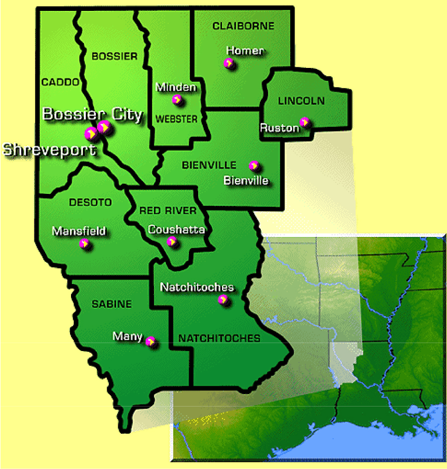
Intensive development of the Haynesville Shale has boosted the economy of Louisiana and Texas. Bossier, Bienville, Caddo, Claiborne, Desoto, Natchitoches, Red river, Sabine, and Webster are nine parishes in Northwest Louisiana economically benefiting from the drilling of natural gas. However, uncontrolled gas drillings are contaminating water sources and risking wildlife.
This project uses ArcGIS as a tool for the sustainable development analysis of Northwest Louisiana. The goal of this project is to protect water sources and wildlife habitats. Water source protection includes reservoirs, major surface water, and potential aquifer high recharge areas. Wildlife protection includes the national wildlife refuge area and wildlife management area.
This is a team student project for an Environmental Management class. My major responsibilities included utilizing GIS for site documentation analysis.
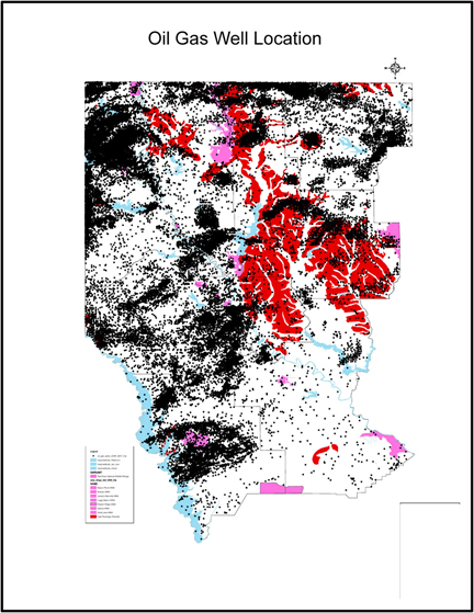
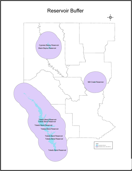
 Context Existing Gas Well Reservoir Protection Aquifer Protection

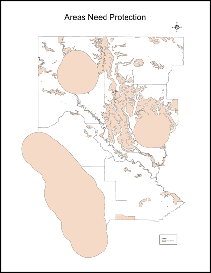

 Wildlife Protection Overall Protection High Potential Damage Gas Well need
Area Protection